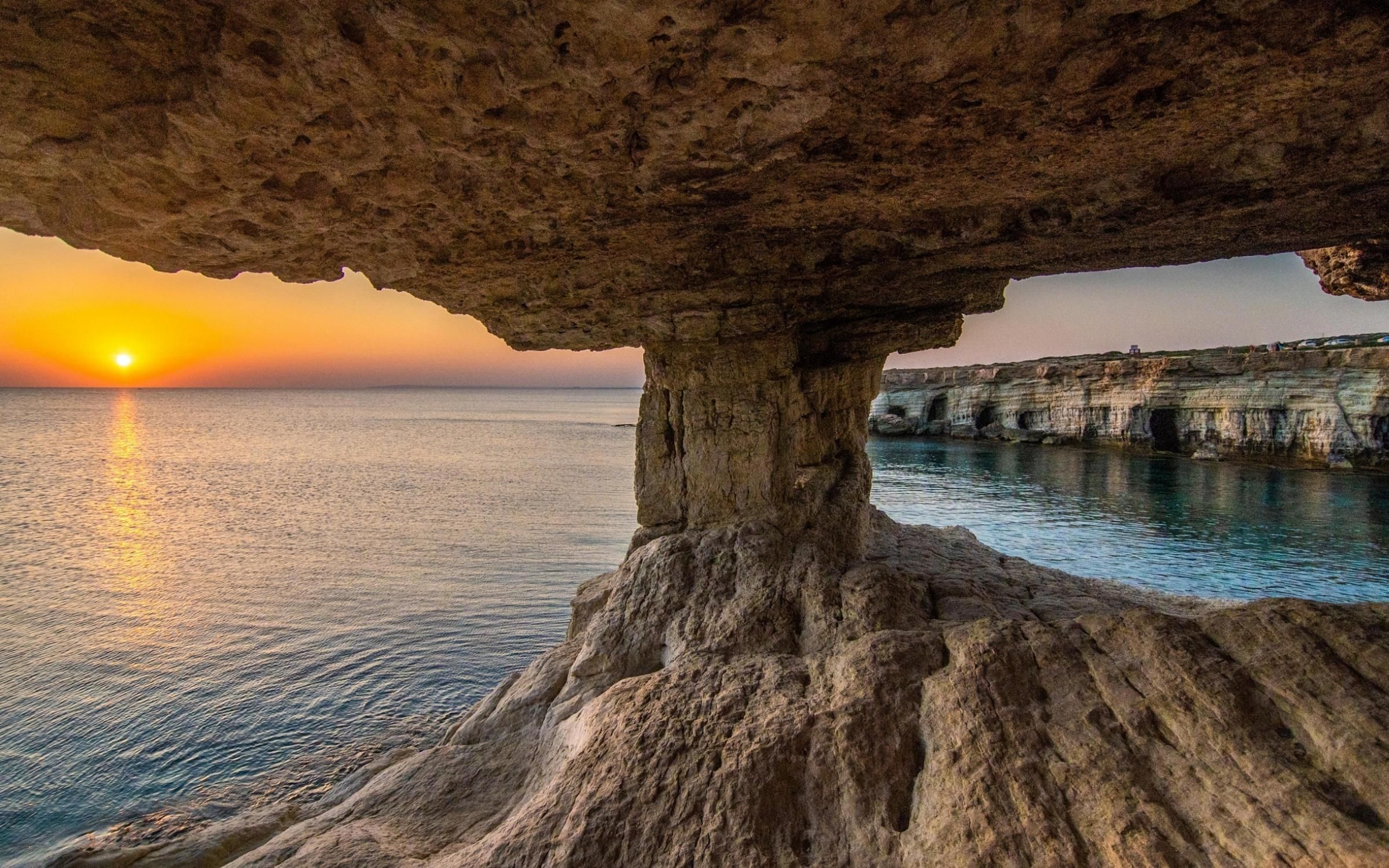
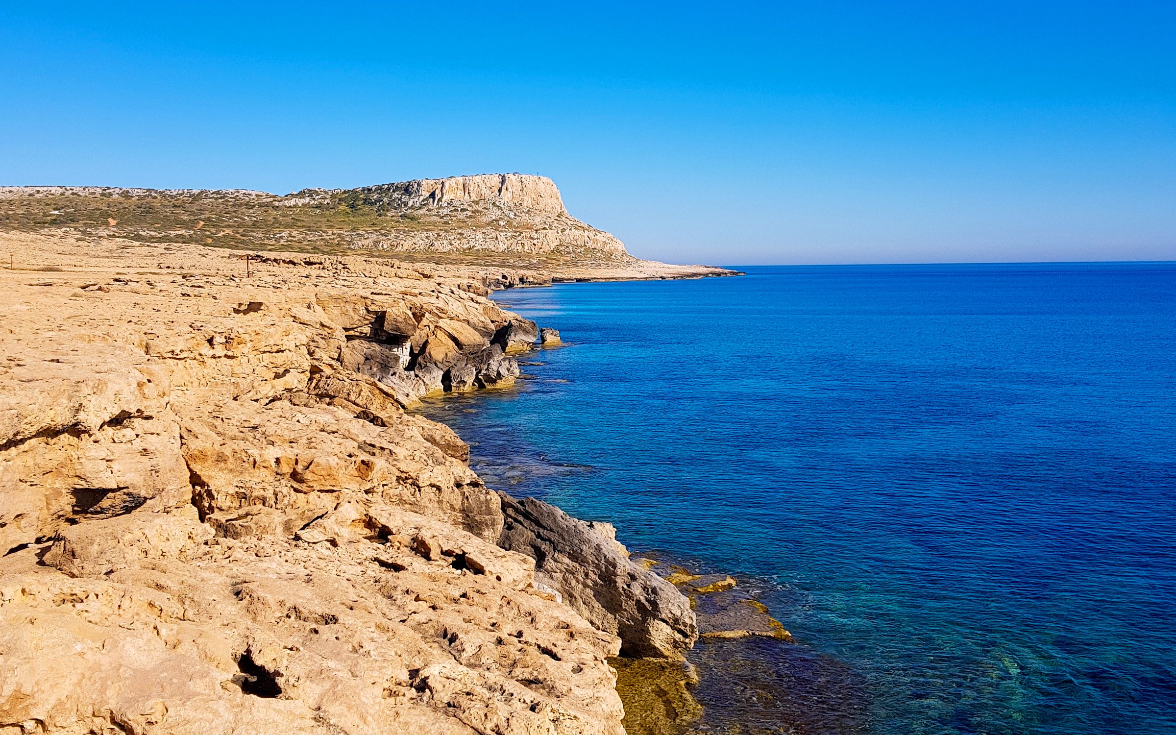
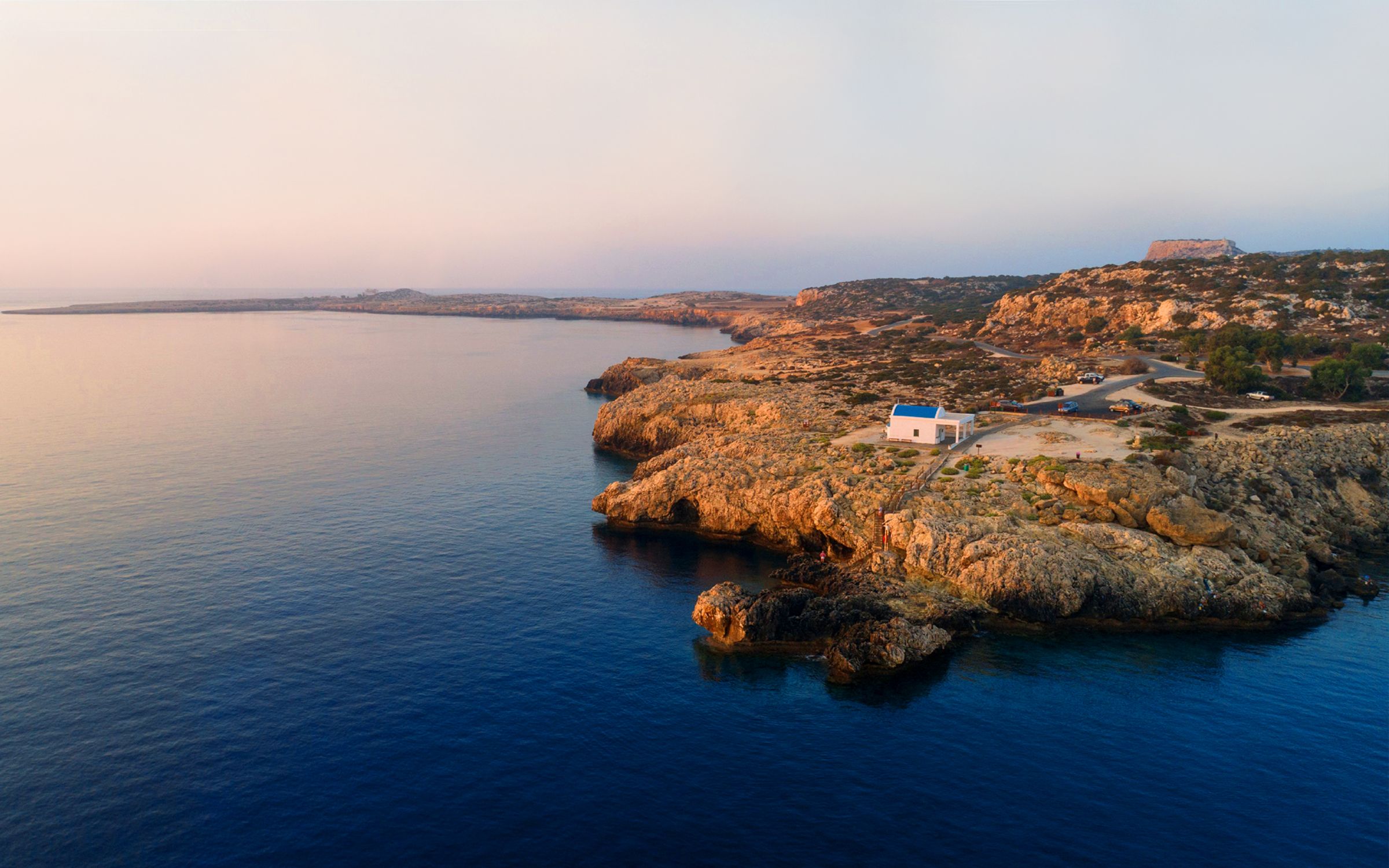
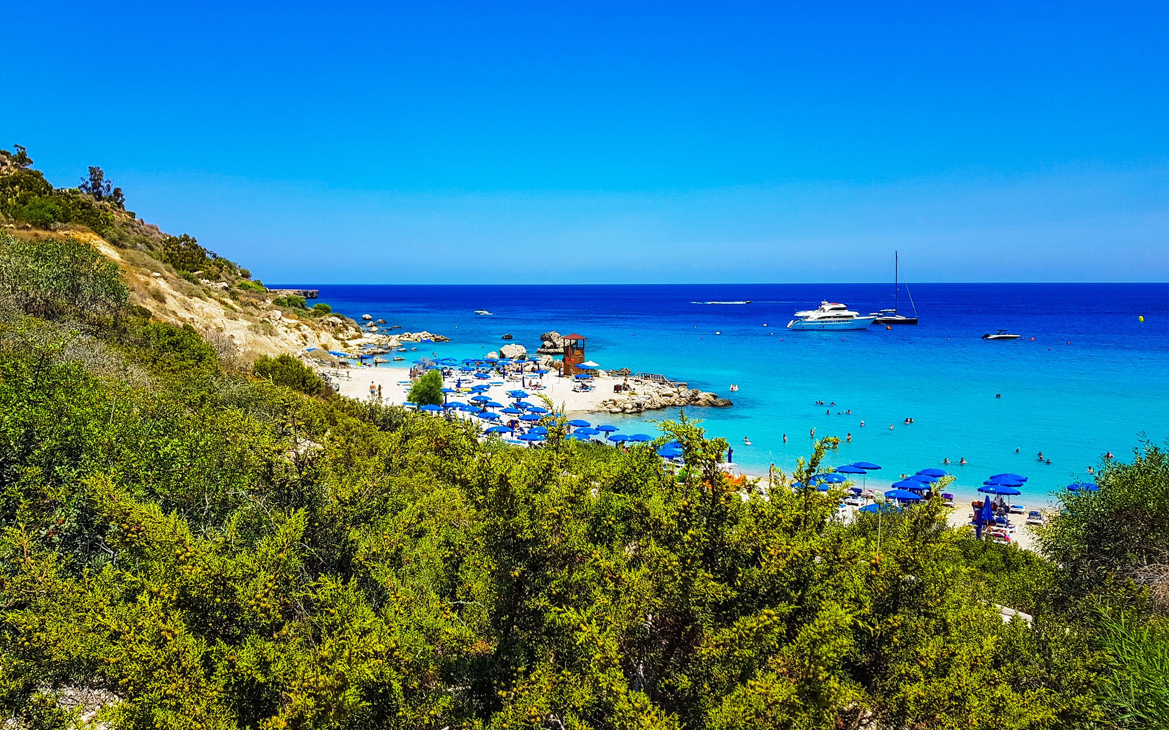
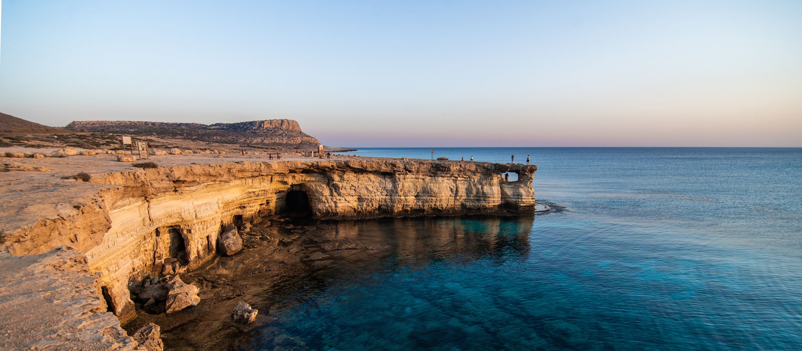
There are 9 Cape Greko nature walks for hikers and people that simply come just to enjoy the splendour of the area.
The rocky promontory on the south-eastern coast of Cyprus, east of Agia Napa and south east of Protaras, is an area of unspoiled natural beauty that has been declared a National Forest Park and conservation area and covers an area of 385 hectares.
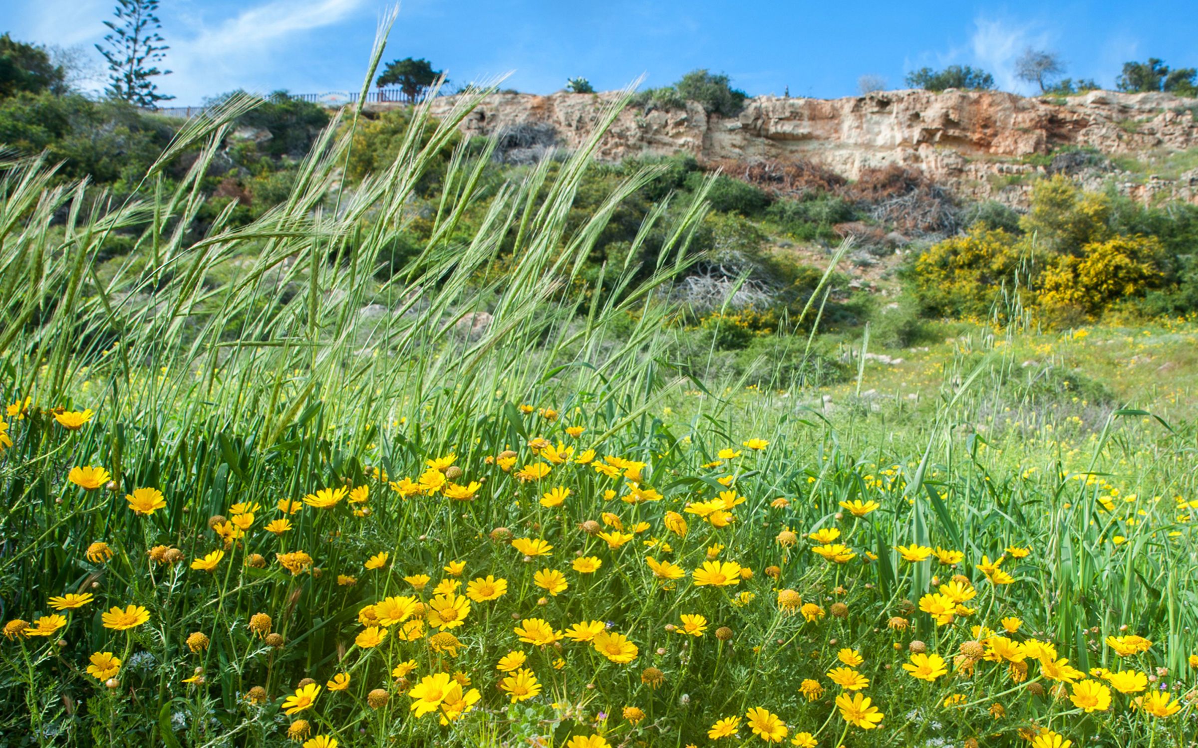
Hike along the network of nature trails lined with miniature pine trees and juniper stopping to admire spectacular views from sea cliffs overlooking turquoise seas.
Take your map anywhere / Cordinates : 34.973127,34.072464
Agioi Anargyroi - Thalassines Spilies (Linear)
Starting point: Church of Agioi Anargyroi Length: 4 km – Duration: 1.5 houres – Degree of difficulty: 1
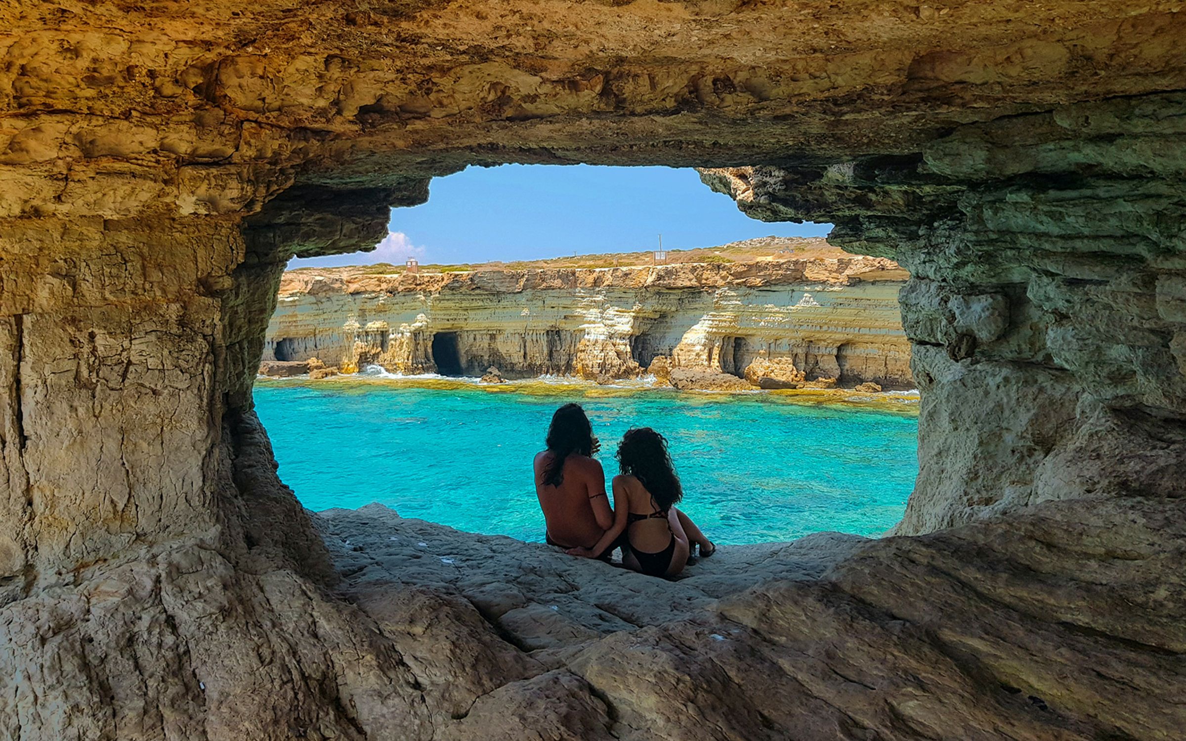
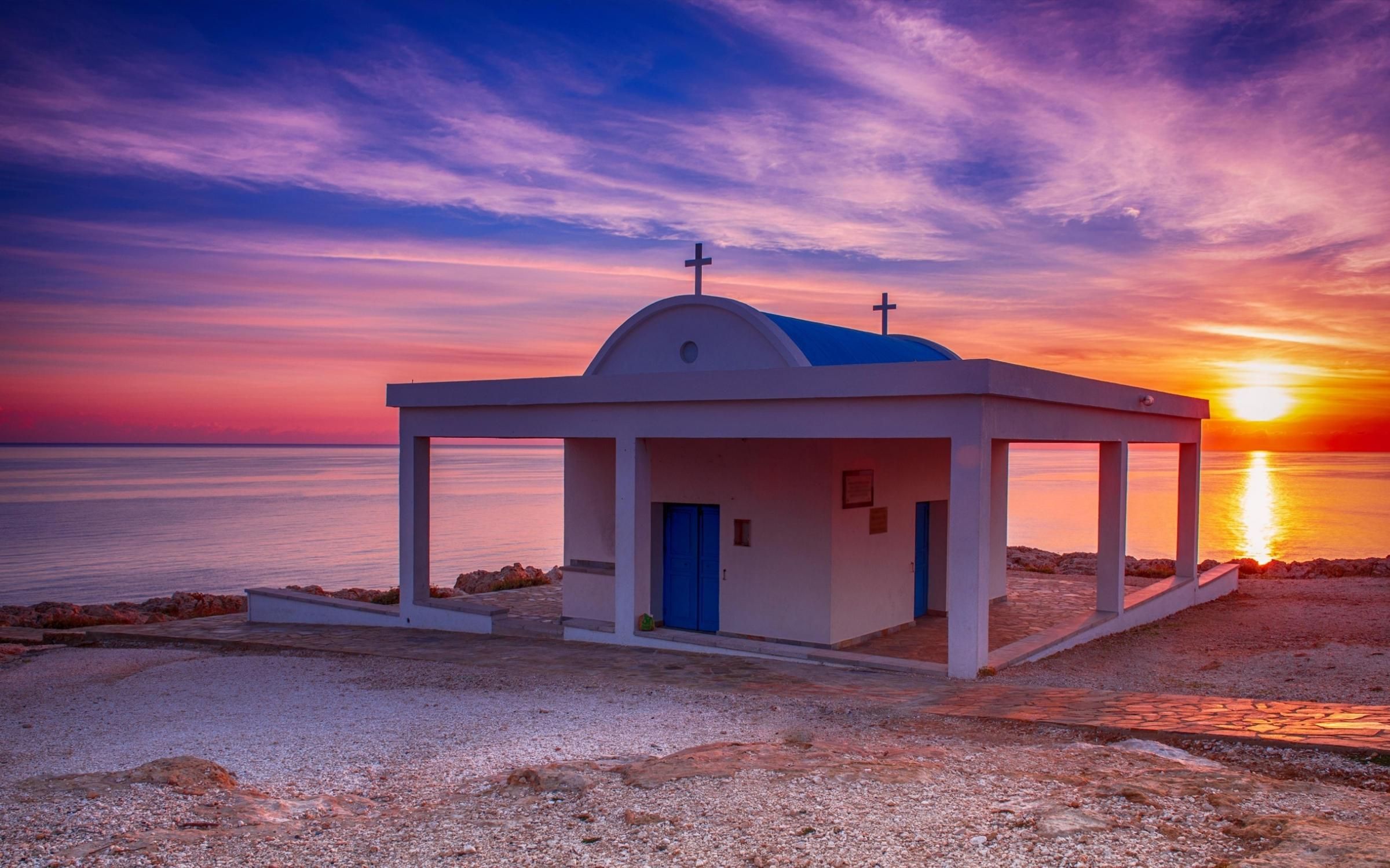
Points of interest: A beautiful walk along the coast. The sea caves are accessible only by sea and the area is suitable for diving. The trail goes over the natural bridge “Kamara tou Koraka”. Links with Konnos- Agioi Anargyroi, Sea Caves and Kavos trails.
Take your map anywhere / Cordinates : 34.967987,34.06571
Kavos Trail (Circular)
Starting point: Old quarry, parking area. Access from Agia Napa-Cape Greko main road, near the Cape. Length: 2.5 km – Duration: 45 minutes – Degree of difficulty: 2
Points of interest: An old quarry, a large number of fossilized marine organisms, and a vantage point at the peak of the Cape from which one can see as far as the Stavrovouni Monastery. On a very clear day the heights above Haifa in Israel, are visible. The impressive cliffs are suitable for climbing.
Take your map anywhere / Cordinates : 34.963635,34.066161
Konnoi - Agioi Anargyroi Trail (Linear)
Starting point: Konnoi Beach Length: 1.4 km – Duration: 30 minutes – Degree of difficulty: 1
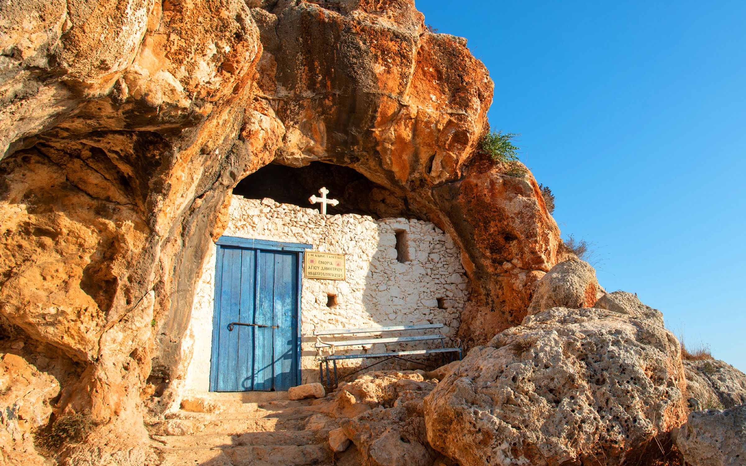
Points of interest: A walk along the coast which ends at the little church of Agioi Anargyroi, built over a sea cave which, according to tradition, was the home of St. Kosmas and St.Damianos.
Take your map anywhere / Cordinates : 34.985934,34.07267
Panagia - Agioi Saranta Trail (Linear)
Starting point: Church of Panagia. Sideway in a distance of 300m on the left of the Cape Greko – Protaras street, towards Protaras. (b) Agioi Saranta. Access from Protaras through dirt roads. It connects with the Profitis Elias – Konnos and Panayia – Ayiou Ioanni trails. Length: 2.5 km – Duration: 45 minutes – Degree of difficulty: 1
Points of interest: The graphic Chappel of Agion Saranta.
Take your map anywhere / Cordinates : 35.004873,34.045621
Panagia - Agios Ioannis Trail (Linear)
Starting point: (a) Church of Panayia. Sideway to a 300m distance on the left of the Akrotirio – Protaras street, towards Protaras. (b) St. Ioannis Church. Access from Protaras though dirt roads. It connects with the Profitis Elias – Konnos and Panayia – Agioi Saranta paths. Length: 2.8 km – Duration: 45 minutes – Degree of difficulty: 1
Points of interest: The graphic Chappels of Agiou Ioanni and Agion Saranta.
Take your map anywhere / Cordinates : 35.001616,34.045186
Profitis Elias – Konnoi Trail (Linear)
Starting point: (a) Chappel of Profitis Elias of Protaras. Access from the Cape Greko – Paralimni street. (b) Konnos Beach, between Protara and Cape Greko. Length: 8.5 km – Duration: 3 hours – Degree of difficulty: 1
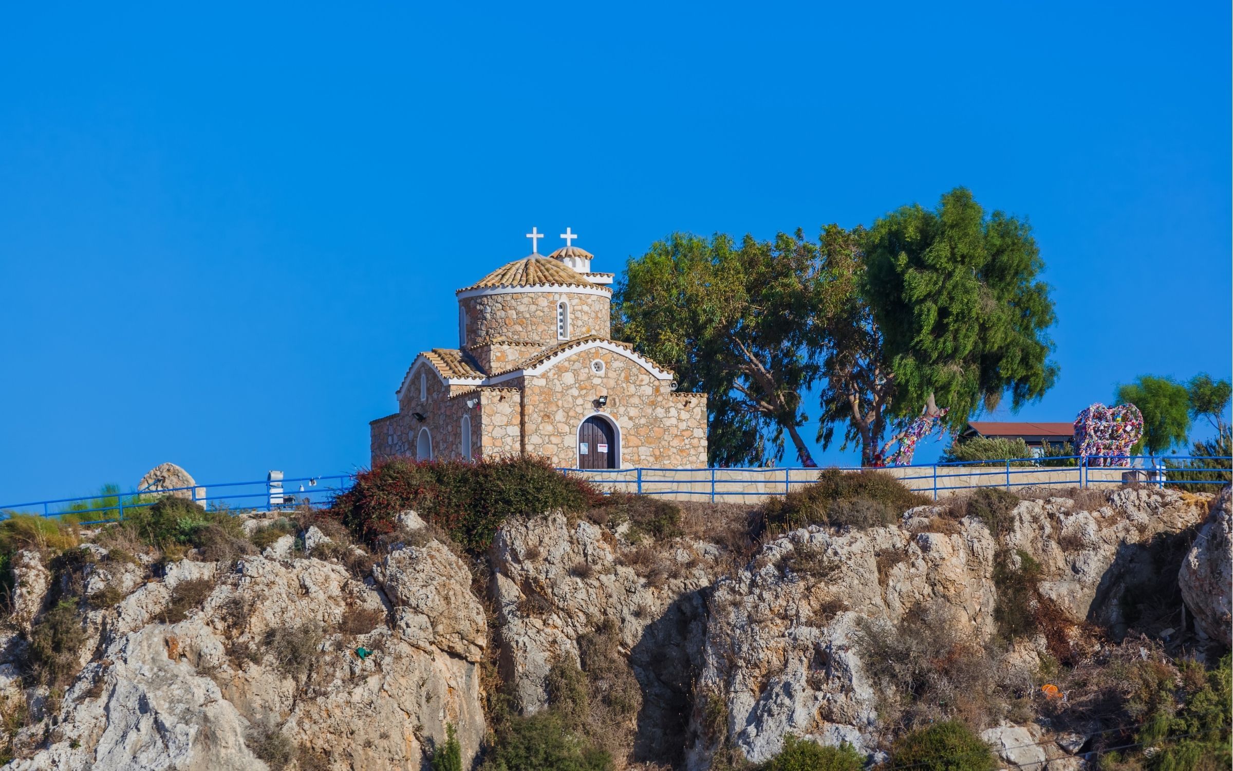
Points of interest: Panoramic view from the Chappel of Profitis Elias. The route includes the Chappels of the Agion Saranta and Agiou Ioanni. It ends to the Konnos Beach. It also connects with the trails Panayia – Agioi Saranta, Panayia – Agios Ioannis, Konnos – Agioi Anargiroi and Konnos – Spilia tou Kyklopa.
The walking trails of the Troodos area, are of immense beauty and peace.
Feel the unpolluted and clean air, the beauty of the forest and be ready for unique experiences, in natural waterfalls and places where, you can become one with nature!
A complete network of amazing walking trails starting either from the top of the Troodos mountains, with unspoiled, breathtaking views over the sea and the near by villages or across the rivers where the sounds of nature blended with the beauty of the trees and plants invite you to a lifetime experience beyond your imagination and expectations. Live the moment.
Enhance your senses and experience to the full one of the most beautiful places in the whole world.
For more information about the network of the nature trails, visit the National Park Info Centre at the Troodos square.
Starting point: 300 m from the junction between the Chionistra road and the Troodos – Prodromos road at an altitude of 1850m Length: 7 km – Duration: 2,5-3 hours – Degree of difficulty: 1
Points of interest: The Pinus Nigra forest, rare species of flora and rocks of the area. Of historic interest are the ruins of rough fortifications built during the final year of the Venetian occupation of Cyprus (1571 AD) by a group of Venetian generals who decided to put up a defence against the Ottomans at that point. The route is circular going round Olympos mountain peak (Chionistra) at an altitude of 1850m. Provides spectacular views in all directions. It ends at a point on the Atalanti trail.
Take your map anywhere / Cordinates : 35.062195,32.334258
Atalanti Trail (Circular)
Starting point: Troodos Square Length: 14 km – Duration: 4-5 hours – Degree of difficulty: 2
Points of interest: The trail goes around Chionistra at an altitude of 1700-1750 m., passing through dense thickets of Pinus Nigra and Troodos Juniper Phoenicia. One of the largest Junipers which is 800 years old can be found in the area. There is an outstanding view of the entire island. Of particular interest is the entrance to a disused chromium mine which ceased its operations in 1982. At 3 kms from the Troodos Square is a spring with drinking water.
Take your map anywhere / Cordinates : 34.902596,32.421393
Kalidonia Trail (Linear)
Starting point: About 700m from the road between Troodos and Platres near the President's summer residence. Also accessible via a forest road which begins at the tourist road 2 kms from the Square. Length: 3 km - Duration: 1.5 hours – Degree of difficulty: 3
Points of interest: The trail follows a course along Kryos Potamos river, which never runs dry. It passes the Kalidonia Falls and ends at Psilo Dendro, in Pano Platres.
Take your map anywhere / Cordinates : 35.062195,32.334258
Kampos tou Livadiou Trail (Circular)
Starting point: The forest road leading to the "Kampos tou Livadiou" picnic site 3 kms from Troodos square and 9 kms from Karvounas. Length: 3 km - Time: 11/2 hours – Degree of difficulty: 1
Points of interest: A significant number of centuries-old Pinus Nigra. The trail is linked to the "Kampos tou Livadiou" picnic site.
Starting point: On the main street Karvouna- Plateias Troodous, 1 km before the Troodos main square, 9,5 km from Karvouna. It ends at the Church of Αgios Nikolaos tis Stegis or it continues up until the Kakopetria Village. Length: 9 km (12 km to the Kakopetria Village) – Duration : 3 hours (4 hours to the Kakopetria Village) – Degree of Difficulty: 3 (relatively difficult downhill route)
Points of interest: Forest landscape. It starts from the source of the Karkoti river and it crosses the beautiful valley of the river. It passes neat the facilities of the closed chrome mine and ends up at the Kakopetria Village. The route can pass by the Church of Agios Nicolaos tis Stegis (12th century ), that has some excellent murals and it is included on the UNESCO World Heritage Site Catalogue. Right from the Church of Agios Nikolaos tis Stegis the walker can follow the paved road Pedoula – Kakopetrias for about 3 km to end up to the Kakopetria Village.
Take your map anywhere / Cordinates : 35.021086,32.334838
Katarraktis Millomeris Trail (Linear)
Starting point: Between the Church of the Pano Platres Village and the centre of the Village, closer to the Church. At the end of the route there is an access to the Waterfall with your vehicle, through dirt roads that start at a point of the main way Platron - Lemesou, about 1 km after the Tall Tree.Length: 1,2 km - Time: 30 minutes - Degree of difficulty: 3
Points of interest: The path leads to the Myllomeris Waterfall, through rich vegetation. The first part, around half of the route, goes parallel to the Kryo Patamo (Cold River). The second part leads to the open mountain with the wild vegetation. Excellent view to the North.
Take your map anywhere / Cordinates : 35.021086,32.334838
Kato Amiantos- “Loumata ton Aeton” Stream Trail (Linear)
Starting point: The main road between Kato Amiantos village and S.E.K Trade Union summer camping site. Length: 2.5 Km – Duration: 1 hour – Degree of difficulty: 2
Points of interest: Traverses a scenic hillside. Runs along the banks of the stream ´Loumata ton aeton, through lush vegetation ending at Amiantos Park. Goes past an old restored E.O.K.A* hideout and ´Loumata ton aeton´stream. The trail can become circular by following roads towards S.E.K. Trade Union summer camping site.
*Ethniki Organosi Kyprion Agoniston (E.O.K.A), National Organisation of Cypriot Fighters, fought an anticolonial, liberation war during period 1955-59.
Show Map
Take your map anywhere / Cordinates : 35.021086,32.334838
Livadi Trail (Circular) - Also Accessible by Persons using Wheelchairs
Starting point: On the main Troodos – Karvounas road, 1.5 km before Troodos square (Plateia Troodous), 9 km from location Karvounas, at Kampos tou Livadiou picnic site. The starting point is approximately 300 m along the narrow paved road.Length: 1.5 km – Duration: 30 minutes – Degree of difficulty: 1
Points of interest: Route through pine forest. Good views towards Solea Valley.
Take your map anywhere / Cordinates : 35.021086,32.334838
Mnimata piskopon Trail (Linear)
Starting point: On the main Troodos – Karvounas road, 1.5 km before Troodos square (Plateia Troodous), 9 km from location Karvounas, at Kampos tou Livadiou picnic site. The starting point is approximately 300 m along the narrow paved road. Following a 1 km route on a path widened to accommodate ramblers using wheelchairs, a crossroad is reached with a wooden signpost: "Mnimata piskopon" (northwestern direction), to be followed. The first kilometre of this route is part of Kampos tou Livadiou trail. The trail ends at the loose surface road connecting location Platania with the church Agios Nikolaos tis Stegis.Length: 8 km – Duration: 3 hours (up to Platania – Agios Nikolaos tis Stegis loose surface road) – Degree of difficulty: 3
Points of interest: The trail goes through dense thickets of black pine, follows a course along the edge of cliffs, offering views towards the Chromium River, Solea Valley and Morfou Bay. The trail ends at Platania – Apotheri- Agios Nikolaos tis Stegis forest road, with a choice of three routes ending at Agios Nikolaos tis Stegis church, Kakopetria village and Platania picnic site respectively. The trail is linked with kampos tou Livadiou trail.
Take your map anywhere / Cordinates : 35.033775,32.329999
Persephone Trail (Linear)
Starting point: 150 m south of Troodos Square. Walkers must either return to the starting point or be picked up at the point where the trail crosses the forest road. Length: 3 km - Time: 1 hour - Degree of difficulty: 1
Points of interest: Rich vegetation and a breathtaking view from Makria Kontarka location.
Take your map anywhere / Cordinates : 35.062195,32.334258
Psilo Dendro - Pouziaris Trail (Circular)
Starting point: The junction of the Platres - Mesa Potamos forest road and the Moniatis - Platres - Troodos road near Psilo Dendro.Three different routes start from the above point.The first route is circular. It passes through dense thickets of Pine to Pouziaris peak, from there to Kaminouthkia stream, then to Vryses and back to the starting point at Psilo Dendro.Length: 8 kms Time: 3 hours The second route is an uphill walk towards Pouziaris and ends at a point of the Troodos Square - Makria Kontarka (Persephone) Trail (I) via which one can go to Troodos Square (II). Length: (I) 7 kms Time: (I) 3 hours Length: (II) 9.5 kms Time: (II) 4 hours The third route initially follows the same course as the previous route, up towards Pouziaris, but then takes a secondary forest road to Kryos Potamos at the starting point of the Kalidonia trail. Length: (I) Psilo Dendro - Kryos Potamos 5 kms Time: (I) 2 hours Length: (II) Psilo Dendro - Kryos Potamos - Kalidonia Falls - Psilo Dendro 8 kms Time: (II) 3 hours.
Points of interest: For the first kilometer it passes through dense pine thickets (Pinus brutia) changing to black pine (Pinus nigra ssp. pallasiana), after 3 km. panoramic views.
Starting point: On the Troodos – Prodromos main street just a bit above the Prodromos Water tank. At the end there is a choice of two routes that end up at different points of the Pedoula – Agiou Nikolaou street. Length: First route 4.5 km. Second route 5,5 km – Duration: 1,5-2 hours – Degree of difficulty: 3
Points of interest: Excellent view of the Morfou Bay and the Troodos Sierra. The path goes through an incredibly dense forest of black pine. Panoramic view to the east, towards the abandoned tunnels of the chrome mines.(very sharp downhill route)